Description
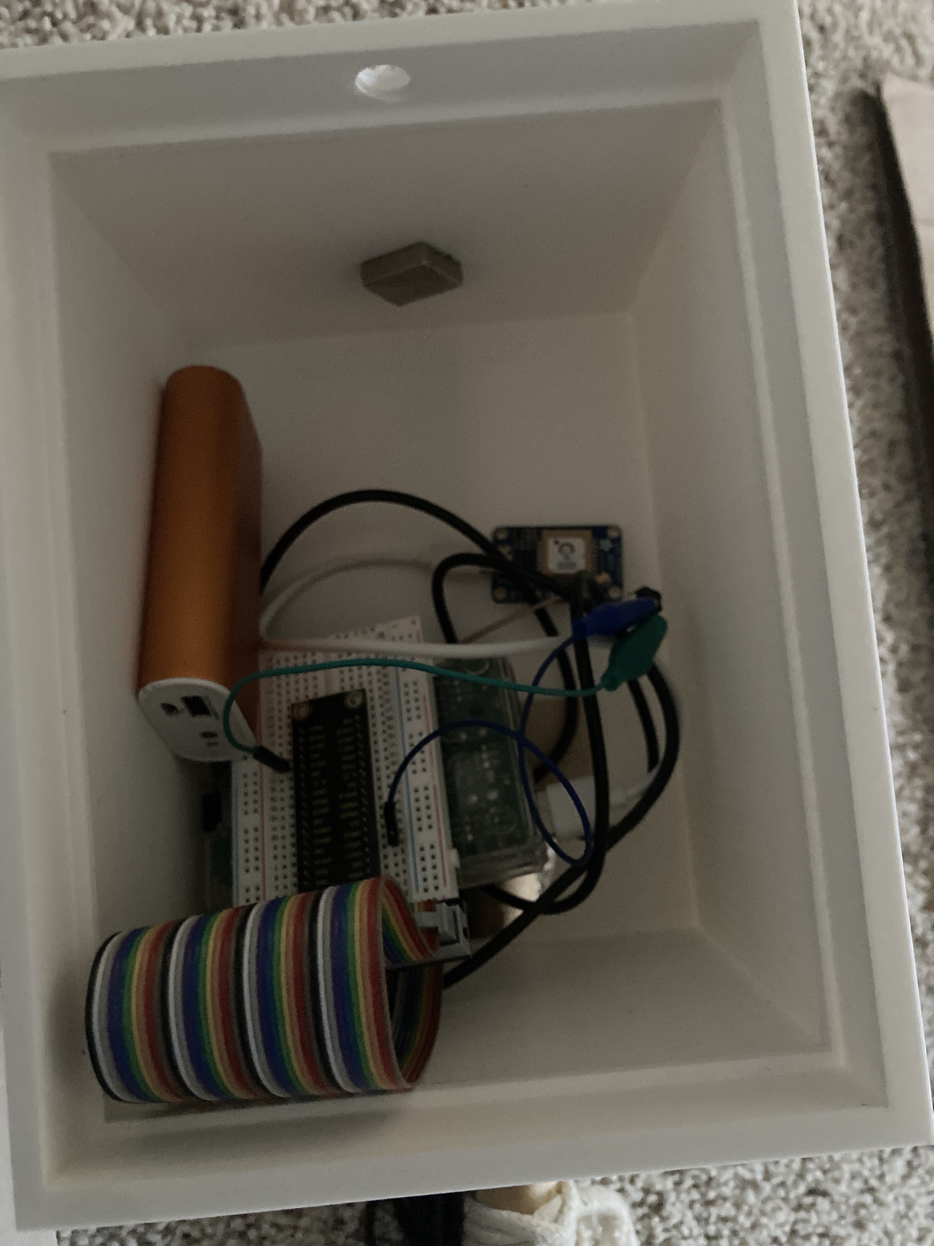
A prototype device designed to enhance communication and coordination between on-field teams and mission control in urban search and rescue (SAR) operations. The device was named SARCO, search and rescue coordinator, and integrates a GPS module with a Raspberry Pi to provide precise location data. The electronics are contained in a 3D printed case attached to a common hiking stick.
The SARCO receives accurate GPS coordinates, which are then transmitted to a centralized database. From there, these coordinates are visualized using the Google Maps API, allowing multiple points to be displayed on a single map.
This project significantly improves operational efficiency, offering up to 30 feet greater accuracy than a modern smartphone. By enabling better visualization of team locations and mission-critical data, SARCO enhances situational awareness and decision-making during rescue missions.
The project was submitted and placed 1st for both INTERalliance's 2024 Tech Olympics and the 2024 UC IT Expo.
Major Updates
Initial Design Period
January 05, 2024
Began the intial prototype design and outlining objectives. A set timeline was outlined in accordance with the upcoming competitions.
Prototyping and Development
January 29, 2024
Developed the attachment to the hiking stick and developed the front-end for the project.
Tech Olympics 2024
Febuary 18, 2024
Presented the prototype at Tech Olympics 2024 and it placed 1st place.
2024 UC IT Expo
April 10, 2024
Presented the prototype at the 2024 UC IT Expo it placed 1st place.
Project Gallery
.png)